
Mount Tammany’s red-dot trail is one of the quintessential New Jersey hikes – I’m not sure you can even call yourself an avid NJ hiker if you don’t make your way to Tammany’s summit annually. Hike 34 was my third time climbing to the top of the water gap and as always, it seemed steeper than last year’s hike.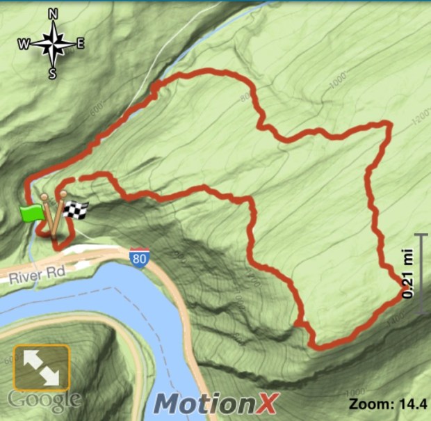 Hike 34 stats:
Date: August 28, 2016
Weather: 89°F, sunny
Distance: 3.49 miles
Time: 2:18
Total Ascent: 1,201′
Highest Elevation: 1,520′
Highlights: Tammany Summit, views of Mount Minsi, views of the Delaware River


I was able to find a parking spot in the Dunnfield Creek parking lot – which is rare. I was hopeful that I picked a day when the trail wouldn’t be too busy – I lucked out and didn’t see too many other hikers on my way to the summit, but as usual there was a crowd at the top.
-

- View of Mount Minsi
-
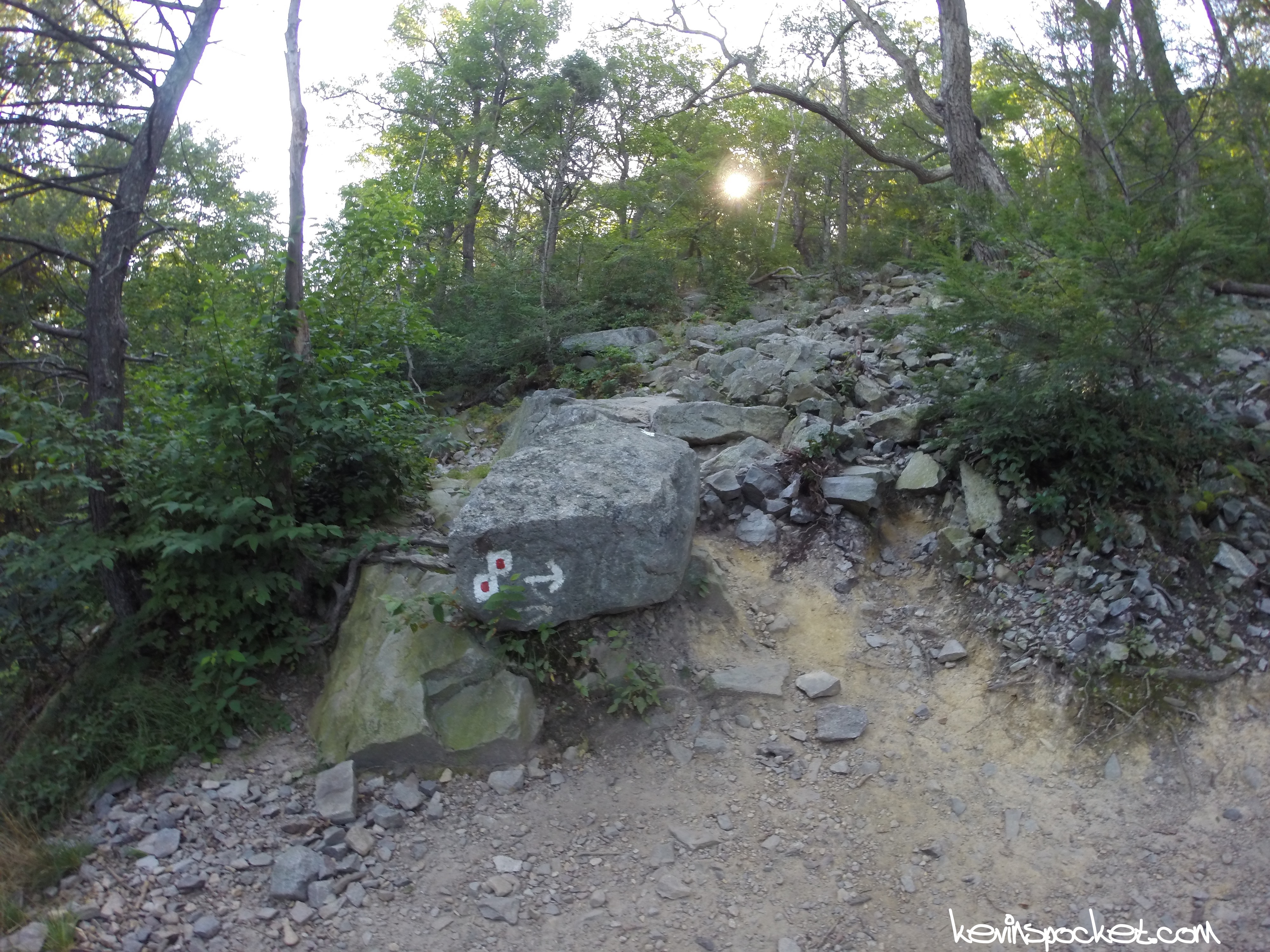
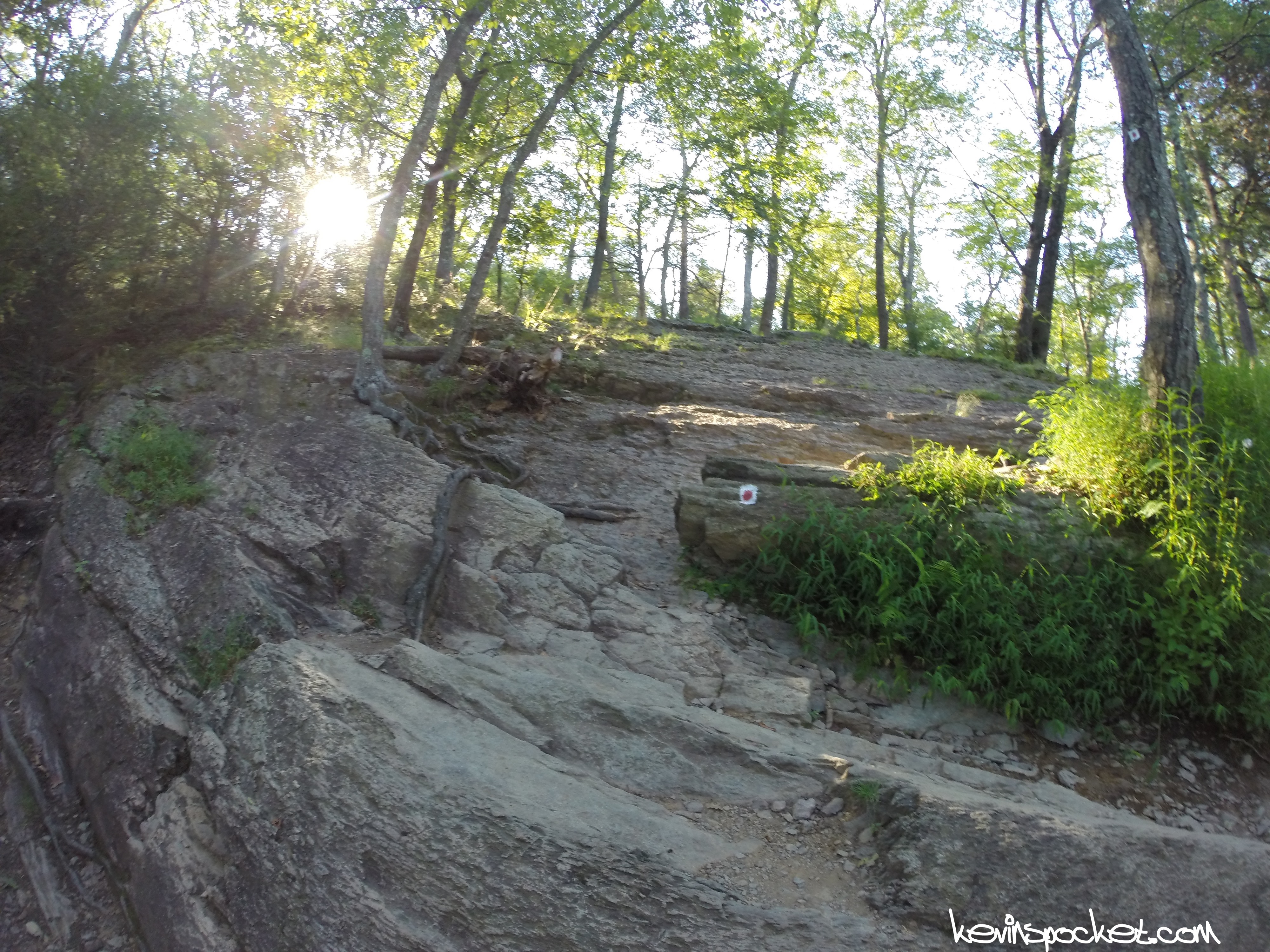
- Red Dot Trail Markers
-

- Summit Selfit
-
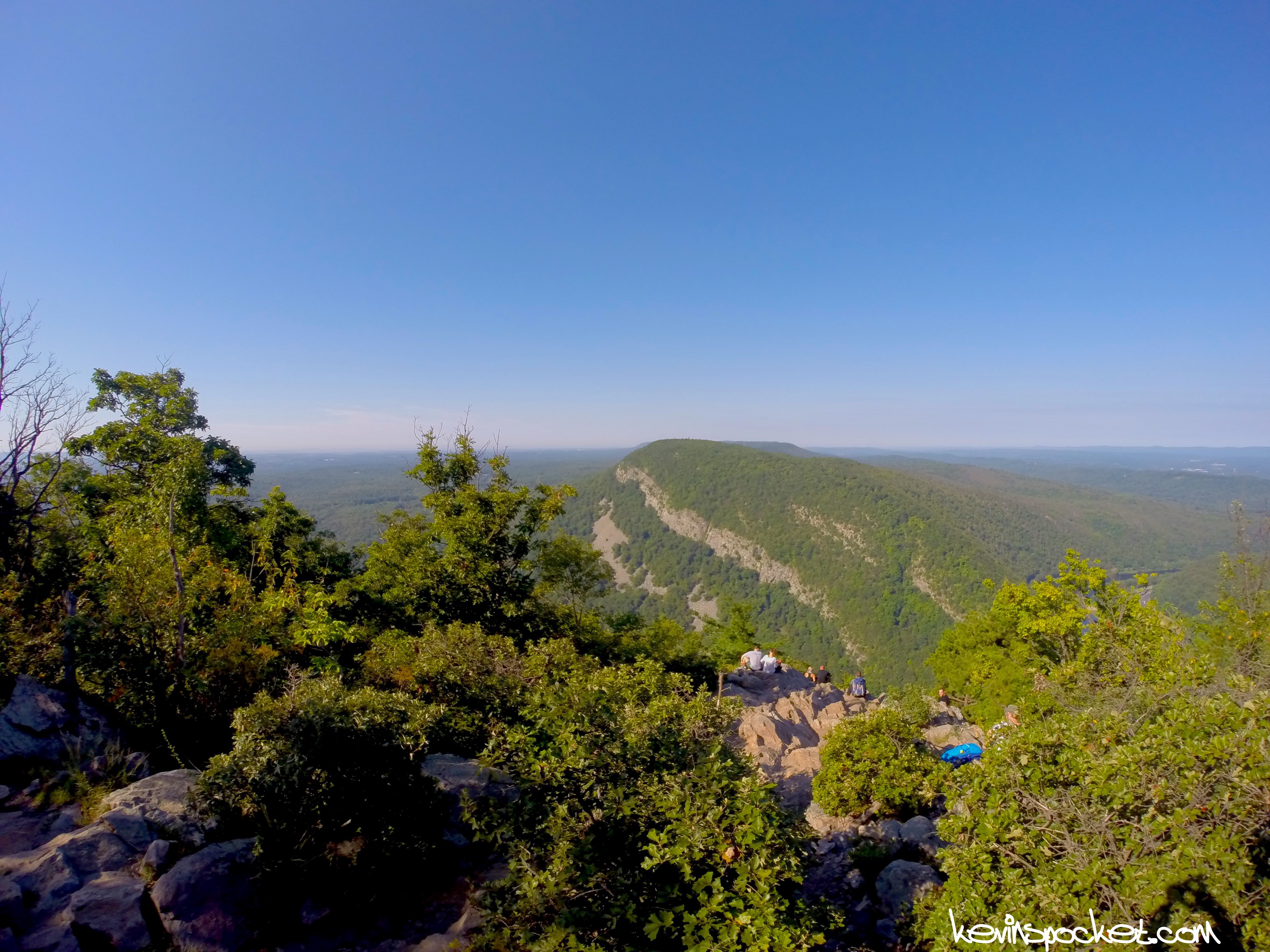
- View of Mount Minsi from Tammany Summit
After a brief cool down at the top I continued on via the blue trail and made my way down toward the Dunnfield Creek – my favorite part of the Delaware Water Gap National Recreation Area!
-

- Blue Trail decent
-
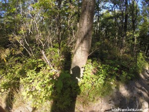
- Shadow beard
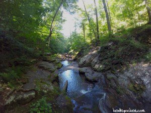
Finally I arrived at the creek and had a bit of fun exploring some of the natural pools – the water was actually quite low so there was a bit more to see than usual!
-
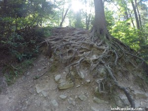
- Root ladder
-
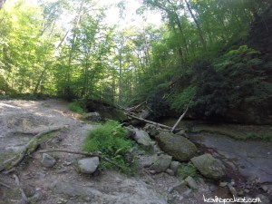
- Dunnfield Creek
-
- Dunnfield Creek
-
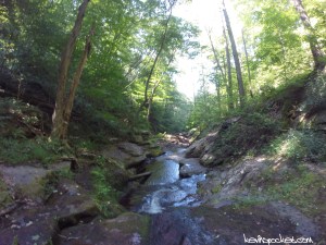
- Dunnfield Creek
-
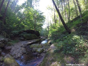
- natural pools
-
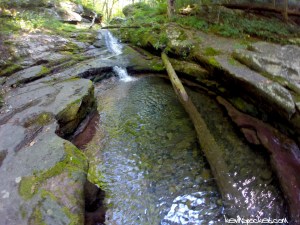
- natural pools
I finished my way back to the parking lot via the Appalachian Trail and called it a day. This loop is one of my favorite NJ hikes because it is full of natural wonders, is very challenging, and is relatively short for what you get. If you haven’t hiked to the top of Tammany – start your first annual trip this year!

